Gdańsk Forest Outskirts and Lake Otomińskie: An MTB Expedition across Moraine Hills
✨ Key Route Information (Quick Facts)
GPX Route for Garmin, Wahoo, Komoot, and Other Bike Computers
Download the free GPX track of this cycling route. The file can be used on Garmin Edge, Wahoo ELEMNT, Hammerhead Karoo, Bryton Rider bike computers and Komoot, OsmAnd, or Ride with GPS apps.
- 1. Gdańsk Forest Outskirts and Lake Otomińskie: An MTB Expedition across Moraine Hills
- 2. Route at a Glance
- 3. Toward the Trail: Early Miles and Morning Serenity
- 4. Moraine Labyrinths and the Still Waters of Lake Otomińskie
- 5. High Ground at 142 m a.s.l. and the Moraine Ridge
- 6. The Return Loop, Savage Walls, and the Gdańsk Finale
- 7. Highlights & Landmarks Along the Way
- 8. Practical Guide: Coffee, Hydration, and Setup
▶ Route Video & YouTube Vlog
Nakręcone Rowerem — YouTube
YouTube HD@nakrecone-rowerem • Cycling, Gravel & Mountains
Czy Trek Procaliber 9.5 to król trójmiejskich lasów? 🌲 Jezioro Otomińskie MTB
Interactive GPS Map
Precise GPX track route with waypoints
Terrain & Surface Breakdown
Surface details, terrain breakdown, and gear tips
🏆 Route Highlights & Scenic Spots:
- ✓ Moraine ridges peaking at 142 m above sea level near Kolbudy
- ✓ Scenic trail segment along pristine Lake Otomińskie surrounded by old-growth forest
- ✓ Dynamic forest descents and short, technical punchy ramps gradient up to 25%
- ✓ Untamed nature in the heart of the Tricity Landscape Park
🛣️ Terrain & Surface Breakdown
Primarily compact forest tracks and gravel roads cutting through rolling post-glacial moraine terrain. Expect hard-packed dirt roads, occasional rooty singletracks, and short, wall-like climbs topping out at 25% gradient. Brief tarmac connector segments when leaving the urban zone.
🚴 Recommended Bike & Gear
A lightweight mountain bike (XC hardtail or light full-suspension) with a reliable suspension fork is ideal. Running 2.2–2.3" tubeless tyres with an all-round off-road tread ensures steadfast traction over wet forest loam and loose gravel ramps. Carry two full bidons and energy bars for self-supported riding.
📍 Location — Poland
Gdańsk, Pomerania, Poland (PL) — 27.8 km, +375m.
Gdańsk Forest Outskirts and Lake Otomińskie: An MTB Expedition across Moraine Hills
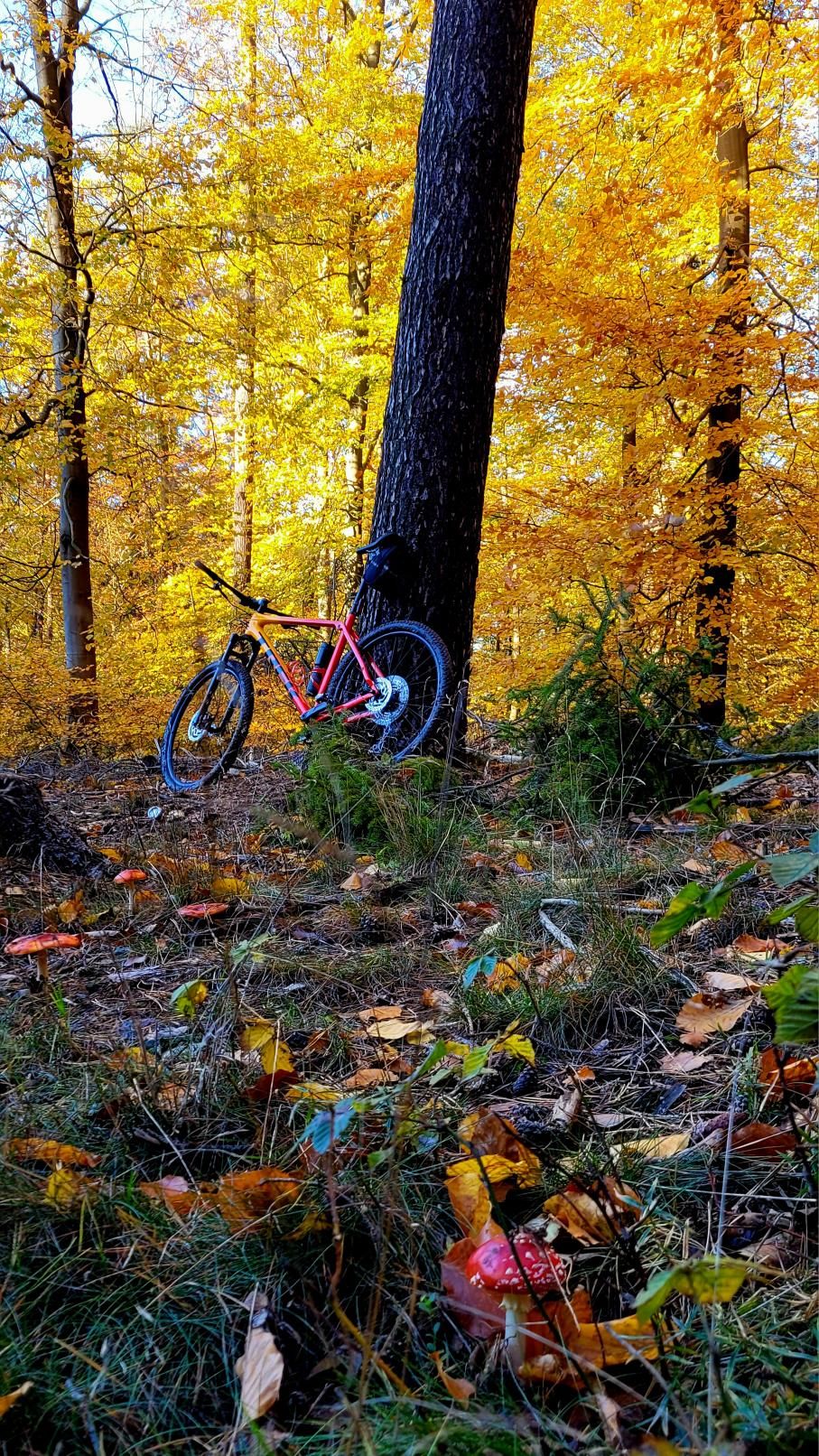
The crisp morning air on the outskirts of Gdańsk smells of damp moss, fresh pine needles, and that invigorating Baltic breeze hinting at perfect riding conditions. Within just a few hundred metres, the bustling hum of the coastal metropolis fades behind a dense wall of beech and pine woods. The urban clamour is replaced by the soothing canopy rustle and the muffled cadence of knobby tyres biting into forest loam. Today’s goal: the secluded woodlands cradling Lake Otomińskie and the dramatic moraine ridges heading toward Kolbudy. It is a striking post-glacial terrain whose relief resembles the foothills of the Beskid Mountains, defying anyone who assumes Pomerania is entirely flat.
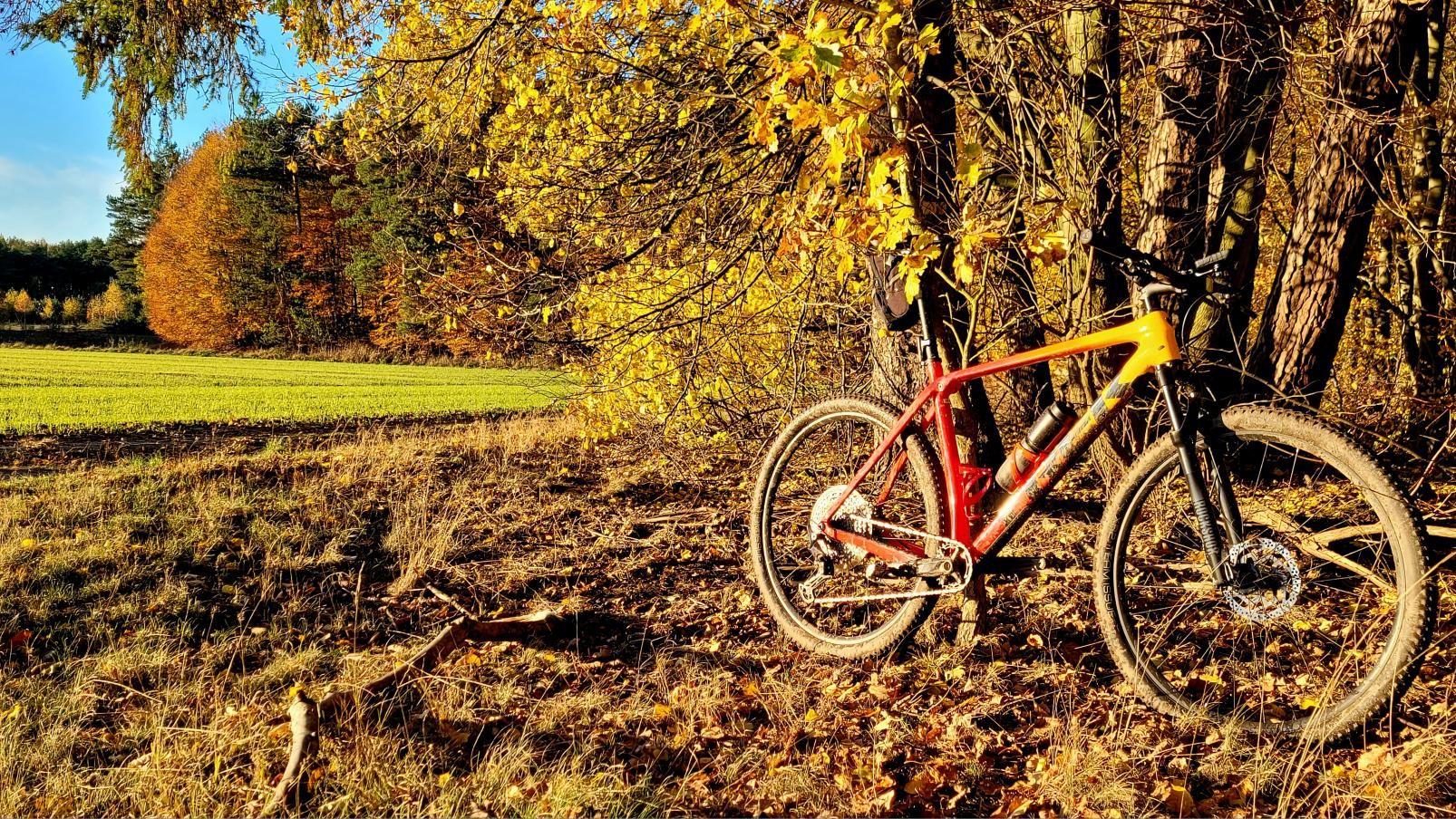
I tackled this dynamic loop aboard a rig built for forest flow: an XC hardtail Trek Procaliber 9.5. On these twisting trails, it thrives—its lightweight frame accelerates up steep crests with minimal wattage loss, while wide tyres offer total reassurance over root-laced corners.
| Parameter | Data |
| Distance | 27.8 km |
| Elevation | +375 m |
| Riding Time (Net) | 1h 45min |
| Bike Used | XC Hardtail Trek Procaliber 9.5 |
| Highest Elevation | +375 m |
| Crux Climb | 0.2 km (+38m, max 25%) |
| Route Character | Scenic Cross-Country Tour / Forest tracks & gravel flow |
Toward the Trail: Early Miles and Morning Serenity
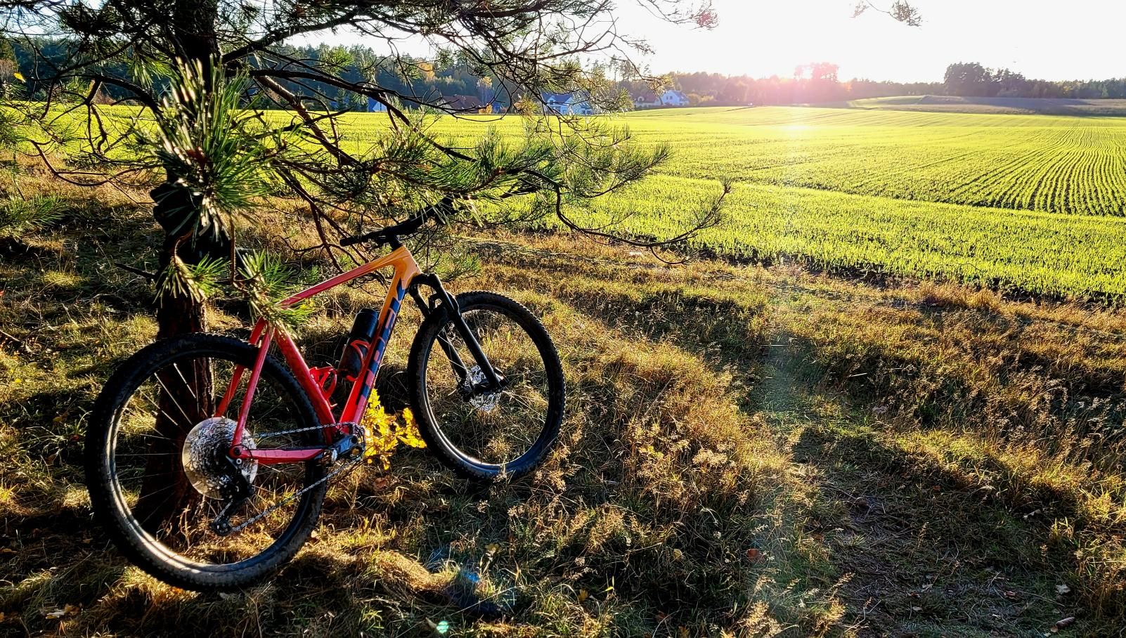
Rolling out from Gdańsk is remarkably smooth. Just a brief warm-up along neighborhood links before the knobbies hit hard-packed woodland pathways. Morning light filters through majestic beech crowns, projecting a dynamic tapestry of light and shadow over the path. Dew evaporates off woodland ferns, creating an almost mythical, mist-draped aura.
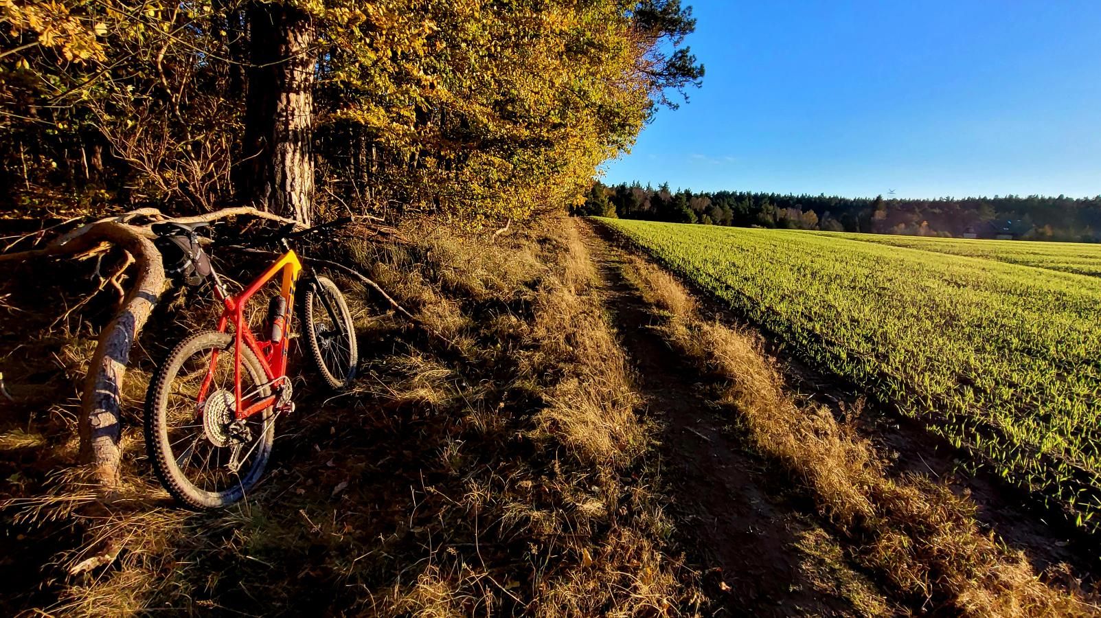
The trail begins to roll immediately. The Procaliber's geometry begs for cadence in the saddle, surging forward over rolling terrain. The silence is profound, interrupted only by the rhythmic drumming of a black woodpecker and the crisp crackle of dry twigs beneath the tyres.
Past the third kilometre, the scenery deepens. Stately oaks give way to towering pines, and the doubletrack begins clawing upward along the first glacial ripples. Heart rates spike along with the gradient. This is merely the prologue to what the wilderness between Gdańsk and the Kolbudy municipality holds in store.
Moraine Labyrinths and the Still Waters of Lake Otomińskie
The track sweeps downward toward Lake Otomińskie—one of Pomerania’s most pristine natural treasures. As the tree line parts, the dark, mirror-like surface of the lake emerges. Completely ensconced by mature forest, this glacial lake is an oasis of peace. Crystal-clear water reflects the overhanging boughs, while reeds shelter nesting waterfowl.
Tracing the shoreline demands sharp focus on the narrow singletrack. Gnarled oak roots crisscross the path, where the front fork eats up deflections with supple ease, keeping the race line true. Old watermill outposts once dotted these valleys, utilizing rushing streams to drive wheels feeding the granaries of Gdańsk. Today, it remains a tranquil sanctuary where sweet floral scents blend with earthy peat notes.
High Ground at 142 m a.s.l. and the Moraine Ridge
Leaving the lakeshore behind, the trail tilts aggressively upward into the Kolbudy district, where terminal moraines display their full grandeur. At kilometre 6.2, the route summits at 142 metres above sea level. While modest compared to the Tatra Mountainsa Mountains or Giant Mountains, in sea-level Pomerania this delivers an authentic dose of climbing through undulating woodland.
The summit clearing reveals panoramic vistas across an emerald ocean of treetops undulating toward the horizon. Cool westerly breezes invite a deep breath and an espresso gel before the descent.
Immediately after the peak, the track plunges into a high-speed descent (km 7.1 to 8.0), dropping 35 metres in just 400 metres of trail. The bike remains planted, wide bars offering pinpoint line choice over loose gravel and ruts. Wind whistles through helmet vents—pure, unadulterated off-road bliss.
The Return Loop, Savage Walls, and the Gdańsk Finale
The homeward leg back toward Gdańsk keeps complacency at bay. Near kilometre 19 lies the crux climb of the day: a brutal 200-metre ramp rearing up like a wall. Pitching upward with 38 metres of vertical gain, the incline hits a searing 25%.
No half-measures work here: drop your chest, weight the front tyre, and grind smooth torque through the cogs. The carbon frame transfers every single watt directly into forward momentum, preventing rear wheel spin on loose soil. Cresting the top with burning lungs brings the sheer satisfaction of a clean, non-dab climb.
The final stretch winds through gentle forest expressways as afternoon sun casts amber shadows across the pine carpet. Riding non-stop for 1 hour and 45 minutes brings the 27.8 km loop to a close right where it began, leaving aching legs and that priceless sense of mental clarity only wild nature provides.
Highlights & Landmarks Along the Way
- ↳ Lake Otomińskie: A glacial gem tucked into mature oak and beech forests southwest of Gdańsk, complete with serene loop paths ideal for nature watching.
- ↳ Kolbudy Moraine Ridges: Post-glacial terrain rising above 140 m a.s.l., offering surprisingly rugged topography, deep gullies, and punchy forest gradients.
- ↳ Strzyża Stream Valley & Forest Belt: The lush green lungs of Gdańsk, filled with shaded ravines, historical milling memories, and centuries-old oaks.
Practical Guide: Coffee, Hydration, and Setup
- ↳ Coffee Stops & Refueling: This route was recorded non-stop relying solely on jersey pocket nutrition (energy bars and electrolyte mix). For a casual ride, reward yourself post-spin in the Gdańsk Wrzeszcz or Morena districts, home to top artisan roasteries and bakeries.
- ↳ Water Points & Shelters: There are no potable water fountains along the forest trails. Carry two bidons (at least 1.5 litres on warm days). Sturdy wooden shelters and benches are located near Lake Otomińskie and main forestry tracks.
- ↳ Recommended Bike & Tyres: A hardtail or light cross-country full-suspension bike is the weapon of choice. Given the steep ramps (up to 25%) and rooty sections, 2.20" to 2.35" off-road tyres running moderate pressures offer crucial bite. A gravel bike can manage the fire roads but will demand masterclass bike handling on the steeper moraine pinches.
- ↳ Navigation: Deep forest intersections can be disorienting. Load the GPX track onto your head unit or smartphone to navigate turns seamlessly.
Frequently Asked Questions (FAQ)
Everything you need to know before hitting this route
How long does it take to cycle around Lake Otomińskie and the Kolbudy hills?
▾
What scenic highlights shouldn't be missed on this loop?
▾
Which bicycle and tyre configuration is best suited for this route?
▾
Free Bike Coloring Pages A4 for Kids & Family
65 vector coloring sheets ready to print (300 DPI, no login required). Gravel, Full MTB, E-Bike & XC!