Tracing the Hussars' Ravine and Moraine Ridges: An E-MTB Forest Odyssey in the Tricity Landscape Park
✨ Key Route Information (Quick Facts)
GPX Route for Garmin, Wahoo, Komoot, and Other Bike Computers
Download the free GPX track of this cycling route. The file can be used on Garmin Edge, Wahoo ELEMNT, Hammerhead Karoo, Bryton Rider bike computers and Komoot, OsmAnd, or Ride with GPS apps.
- 1. Tracing the Hussars' Ravine and Moraine Ridges: An E-MTB Forest Odyssey in the Tricity Landscape Park
- 2. Route & Gear Profile
- 3. Heading into the Woods: First Kilometers and the Moraine Labyrinth
- 4. Hussars' Ravine and Hidden Trails: Gems of Gdańsk Wilderness
- 5. Swedish Dike and Presidential Way: The Ridge Traverse
- 6. Homeward Bound: Dusk Over the Moraine
- 7. Scenic Highlights: What to Spot Along the Way
- 8. Practical Trail Guide: Water, Bike Setup & Navigation
▶ Route Video & YouTube Vlog
Nakręcone Rowerem — YouTube
YouTube HD@nakrecone-rowerem • Cycling, Gravel & Mountains
Trek Procaliber na kultowych trasach TPK Gdańsk | Rowerowy Audyt
Route Reels / YouTube Shorts (1):
best of you - mtb ride #rock #mtb #trek #procaliber #trekbikes #foofighters

Interactive GPS Map
Precise GPX track route with waypoints
Terrain & Surface Breakdown
Surface details, terrain breakdown, and gear tips
🏆 Route Highlights & Scenic Spots:
- ✓ Scenic descent and passage through the mystical Hussars' Ravine (Wąwóz Huzarów)
- ✓ High moraine summit reaching 131 m a.s.l. offering deep views across glacial valleys
- ✓ Historic Bear's Way (Niedźwiedzia Droga) and ancient Gdańsk woodland trails
- ✓ Swedish Dike (Szwedzka Grobla) and Presidential Way (Droga Prezydencka) in the heart of the park
🛣️ Terrain & Surface Breakdown
Varied woodland tracks of the Tricity Landscape Park: hardpack gravel, root-laced singletrack, deep glacial erosion ravines scattered with erratic boulders, and short urban asphalt connectors.
🚴 Recommended Bike & Gear
A lightweight trail bike or light e-MTB with 140–150 mm of travel is ideal for steep moraine ramps. 2.4 to 2.5-inch knobby tires with pronounced shoulder tread deliver essential grip on damp loam and roots.
📍 Location — Poland
Gdańsk, Pomerania, Poland (PL) — 27.6 km, +560m.
Tracing the Hussars' Ravine and Moraine Ridges: An E-MTB Forest Odyssey in the Tricity Landscape Park
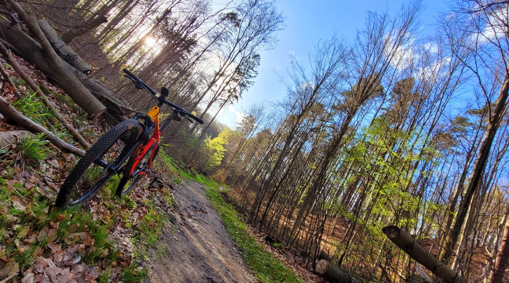
The afternoon air in the coastal forests of Gdańsk carries a crisp, calming moisture. Just a few hundred meters from urban avenues, traffic noise fades into silence, replaced by the creak of towering beeches and the scent of damp pine needles. The Tricity Landscape Park is a true geological marvel in Poland: steep post-glacial moraine slopes make cyclists feel as if they are tackling the lower elevations of the Beskid Mountains, even though the Baltic Sea lies just a few kilometers away. My objective for this ride was to dive straight into the wild heart of these moraine ridges, taking on the legendary Hussars' Ravine (Wąwóz Huzarów) and ancient forest arteries.
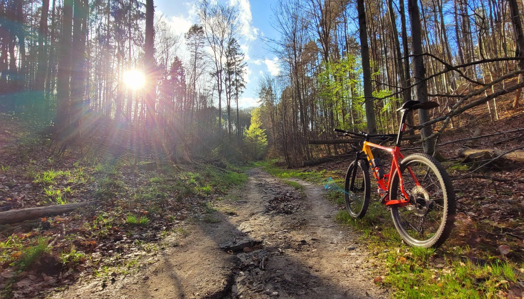
I rolled out on a Trek Fuel EXe 9.7 / 9.8. This machine epitomizes the modern lightweight e-MTB category: tipping the scales at under 19 kilograms, it preserves the nimble handling of a pure acoustic trail rig, while its harmonic pin ring TQ-HPR50 motor delivers silent assistance without breaking the serenity of the woods. The top-tube OLED display discreetly reported battery levels from the 360 Wh pack, while 150 mm front and 140 mm rear suspension stood ready for rocky drops.
Route & Gear Profile
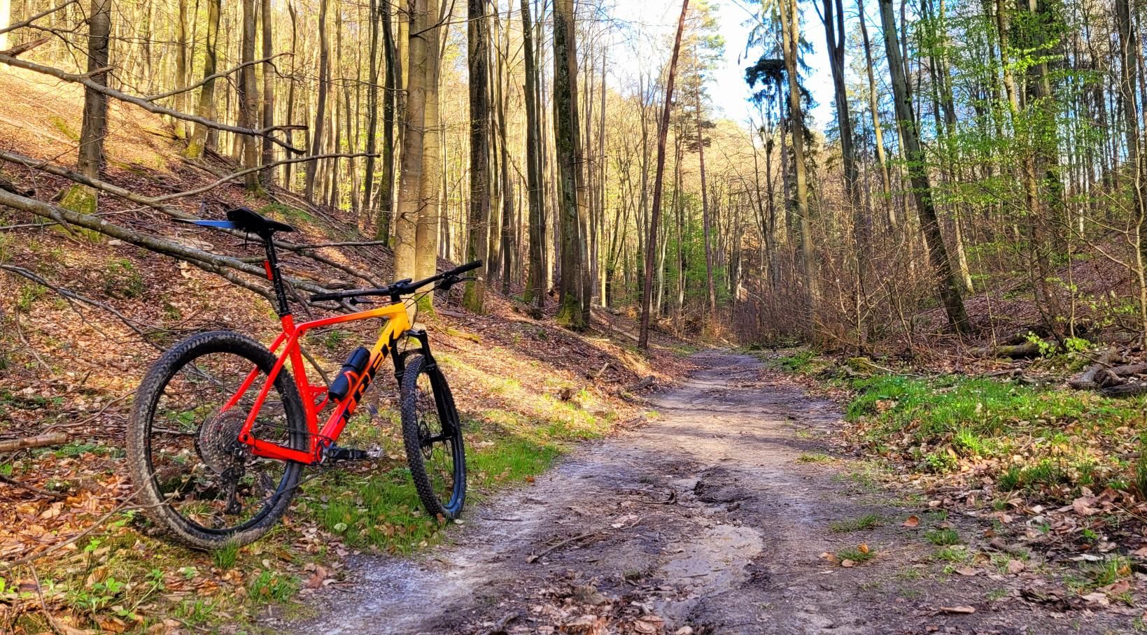
| Parameter | Data |
| Distance | 27.6 km |
| Elevation | +560 m |
| Riding Time (Net) | 1h 57min |
| Bike Setup | Trek Fuel EXe 9.7 / 9.8 (Lightweight E-MTB) |
| Highest Elevation / Panorama | +560 m |
| Crux Climb | 0.4 km (+61 m, max 28%) |
| Route Character | Scenic trail expedition / Forest singletrack & gravel flow |
Heading into the Woods: First Kilometers and the Moraine Labyrinth
The ride kicked off in western Gdańsk, where residential neighborhoods end abruptly against ascending wooded slopes. The opening meters traced urban fringes, but within moments the tires bit into the loamy soil of the Tricity Landscape Park. The wide Bontrager XR5 Team Issue 29x2.50" tires, dropped to 1.5 bar, found immediate bite on damp soil, instilling total control.
Golden beams of sunlight filtered through ancient oak canopies, speckling the trail floor. Right from the outset, the terrain proved merciless: the coastal moraines of Gdańsk are renowned for short, punchy climbs. The narrow trail snaked between sheer ravine walls, exposing networks of roots that resembled thick nautical ropes.
Climbing toward the route’s high point was pure immersion in nature. The whisper-quiet drive unit dished out 50 Nm of torque precisely when the gradients ramped up, keeping cadence steady without spinning out on wet leaves or disturbing the wildlife. Kilometer after kilometer, I gained elevation, heading for the central overlook.
Clearing the high mark at 131 m a.s.l., the trail plunged into one of the region's most dramatic geological landmarks: the Hussars' Ravine (Wąwóz Huzarów). Descending through this glacial trench is pure mountain biking bliss. The ravine walls rise steeply on both flanks, while the narrow floor is littered with glacial erratics and mossy deadfall. Every corner required sharp focus, with four-piston stoppers dialing in braking points over drops.
Hussars' Ravine possesses a primal atmosphere. Local lore recounts that during the Napoleonic Wars, French hussar patrols engaged in tactical skirmishes within these hidden folds. Today, it remains a secluded microclimate, noticeably cooler than open city streets. Banking through the valley floor, the crisp scent of ferns and chilled subterranean air surrounded the ride.
Exiting the ravine, the loop merged onto historic forest highways. After 8 kilometers, I reached Niedźwiedzia Droga (Bear's Way). This wide, hard-packed gravel arterial has connected foresters and settlements for centuries. I paused for 9 minutes at the local junction to take in the bird song, grab an espresso-style energy gel, and consult the trail map.
Swedish Dike and Presidential Way: The Ridge Traverse
The middle segment traversed historical milestones across the park. The profile rolled constantly, mirroring the undulating moraine terrain. At kilometer 14, the trail crossed the Swedish Dike (Szwedzka Grobla), prompting a brief 3-minute breather. This location echoes the Northern Wars of the 17th century, when marching armies utilized these elevated natural earthworks for cover.
Immediately after leaving the dike, the route served up its steepest wall: an uncompromising 400-meter crux climb averaging double digits and peaking at an eye-watering 28%. Here, modern e-MTB engineering shines: light chassis compliance and seamless pedal assistance allowed for a seated spin without breaking rear wheel traction on slick foliage.
Just two kilometers later, at km 16.1, I reached the Presidential Way (Droga Prezydencka, 95 m a.s.l.). A brief 3-minute pause offered time to admire the colossal beech and pine canopy. Droga Prezydencka is a grand, high-ridge thoroughfare along the southern spine of the park, casting long afternoon shadows across the smooth forest trail.
Homeward Bound: Dusk Over the Moraine
The final stretch delivered a fast-flowing return descent toward Gdańsk. The gradients softened, though pleasant ribbons of singletrack continued to trace the ridge contours. Dropping to 40 m a.s.l. near kilometer 21, the warmer sea-level air replaced the cool shade of the ravines.
The final brief pause arrived at km 26.4 near Franciszka Rakoczego Street, where forest singletrack merges into metropolitan bike paths. Three minutes spent regaining breath allowed a fond look back at the moraine hills just conquered. The 27.6 km loop concluded in just under two hours of net pedaling, leaving an indelible feeling of true backcountry adventure right on the city's doorstep.
Scenic Highlights: What to Spot Along the Way
- ↳ Hussars' Ravine (Wąwóz Huzarów): A natural monument of glacial erosion. A sunken gorge bordered by mature Pomeranian beech woods. Slow down during the descent to spot ancient Scandinavian erratics carried here by ice sheets.
- ↳ Swedish Dike (Szwedzka Grobla): A historic ridge crossing acting as a natural causeway between two steep valleys, wrapped in Northern War legends.
- ↳ Presidential Way (Droga Prezydencka): A majestic forest boulevard tracing high moraine ridges, framed by heritage pedunculate oaks and beeches.
- ↳ Moraine Ridge Lookouts (131 m a.s.l.): While summer greenery shields distant panoramas of the Gulf of Gdańsk, the immediate topographic depth gives the uncanny impression of riding high mountain foothills right next to the Baltic Sea.
- ↳ Coffee Stops & Refreshments: The main rest point sits at km 8 near Niedźwiedzia Droga (rest time: 9 min), featuring wooden trail shelters perfect for a quick snack and hydration top-up before the crux ascents.
- ↳ Water Access: There are no potable springs in the deep ravines. Carry at least two full bidons or a hydration pack. Sheltered gazebos are located at major intersections and park entrances around Piecki-Migowo.
- ↳ Recommended Bike and Tires: Purpose-built for trail mountain bikes, full-suspension rigs, or progressive XC hardtails with at least 120 mm of front travel. Given 28% gradients and slippery root carpets, 2.35–2.50" tires with aggressive side knobs are vital. A lightweight e-MTB unlocks maximum flow without exhaustion on the steep walls.
- ↳ Navigation & GPX: The dense singletrack network of the Tricity Landscape Park can be disorienting, and deep ravines occasionally degrade GPS accuracy. Keep a reliable GPX track loaded onto your head unit to ensure you hit every iconic gully descent.
Frequently Asked Questions (FAQ)
Everything you need to know before hitting this route
How long does it take to complete this loop?
▾
What are the key sights and viewpoints along the route?
▾
What type of bike and tire setup is recommended?
▾
Free Bike Coloring Pages A4 for Kids & Family
65 vector coloring sheets ready to print (300 DPI, no login required). Gravel, Full MTB, E-Bike & XC!