Żuławy Expanses and the Vistula Wind: 120 km Gravel Loop from Gdańsk to the Depressions and Tczew
✨ Key Route Information (Quick Facts)
GPX Route for Garmin, Wahoo, Komoot, and Other Bike Computers
Download the free GPX track of this cycling route. The file can be used on Garmin Edge, Wahoo ELEMNT, Hammerhead Karoo, Bryton Rider bike computers and Komoot, OsmAnd, or Ride with GPS apps.
- 1. Żuławy Expanses and the Vistula Wind: 120 km Gravel Loop from Gdańsk to the Depressions and Tczew
- 2. Route & Gear Telemetry
- 3. Off the Moraine into the Delta: Descending Below Sea Level
- 4. The Great River Ribbon and Architectural Heritage
- 5. Cedry Wielkie: Fighting the Crosswinds on the Polders
- 6. The Return Climb: A Sting in the Tail
- 7. Sightseeing Highlights
- 8. Practical Guide: Coffee Stops, Water & Advice
Interactive GPS Map
Precise GPX track route with waypoints
Terrain & Surface Breakdown
Surface details, terrain breakdown, and gear tips
🏆 Route Highlights & Scenic Spots:
- ✓ Gdańsk moraine hills at the start with sweeping panoramas over the Żuławy lowlands
- ✓ Gothic Church of St. Anne and the pastoral scenery of Suchy Dąb
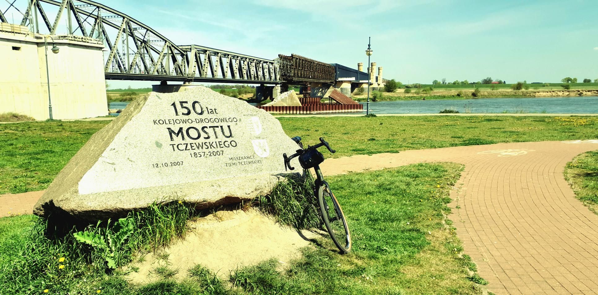
- ✓ Surroundings of Tczew and the mighty waters of the Vistula River
- ✓ Historic regional architecture and timber-frame arcade houses around Lichnowy
- ✓ Flat, fast-rolling gravel tracks across the depressions around Cedry Wielkie
🛣️ Terrain & Surface Breakdown
Predominantly flat lowland terrain (88 km of completely flat stretches), spiced up with a moraine descent at the start and a sharp climb at the end of the loop in Gdańsk (maximum gradient of 9%). The surface is a harmonious blend of hardpack gravel, agricultural concrete slabs, smooth local asphalt, and unpaved riverside paths.
🚴 Recommended Bike & Gear
A gravel bike fitted with 38–45 mm all-round tread tires is the ideal setup. Vistula winds demand an aerodynamic riding posture, and self-supported riding requires at least two large bidons and plenty of carb nutrition in your jersey pockets.
📍 Location — Poland
Gdańsk, Pomerania, Poland (PL) — 120.4 km, +238m.
Żuławy Expanses and the Vistula Wind: 120 km Gravel Loop from Gdańsk to the Depressions and Tczew
The morning air in Gdańsk carries the maritime dampness of Gdańsk Bay and the crisp chill of the forests draping the moraine hills. Standing at dawn on a crest reaching nearly a hundred meters above sea level, the city lies half-asleep while the eastern horizon unfolds into an entirely different dimension: the pancake-flat, geometric realm of the Vistula Fens (Żuławy Wiślane). The goal of this expedition was to dive headfirst into these vast lowlands, brush past the Vistula river crossings near Tczew, and loop back across agricultural polders where human engineering has waged a quiet dialogue with water for centuries.
From the drop bars of a gravel bike, this route is a celebration of contrasts. In just a matter of minutes, you dive from forested moraine ridges straight into terrain sitting below sea level, where the cadence of your pedal stroke is governed not by elevation profiles, but by the relentless push and pull of the Baltic breeze.
| Parameter | Metric |
| Distance | 120.4 km |
| Elevation | +238 m |
| Moving Time | ~5h 50m |
| Ride Classification | Gdańsk Tczew Gdańsk Gravel 120 km |
| Highest Elevation / Panorama | +238 m |
| Crux Climb | 1.6 km (+67m, max 9%) |
| Route Character | Endurance gravel loop / Fast gravel flow & quiet backroads |
Off the Moraine into the Delta: Descending Below Sea Level
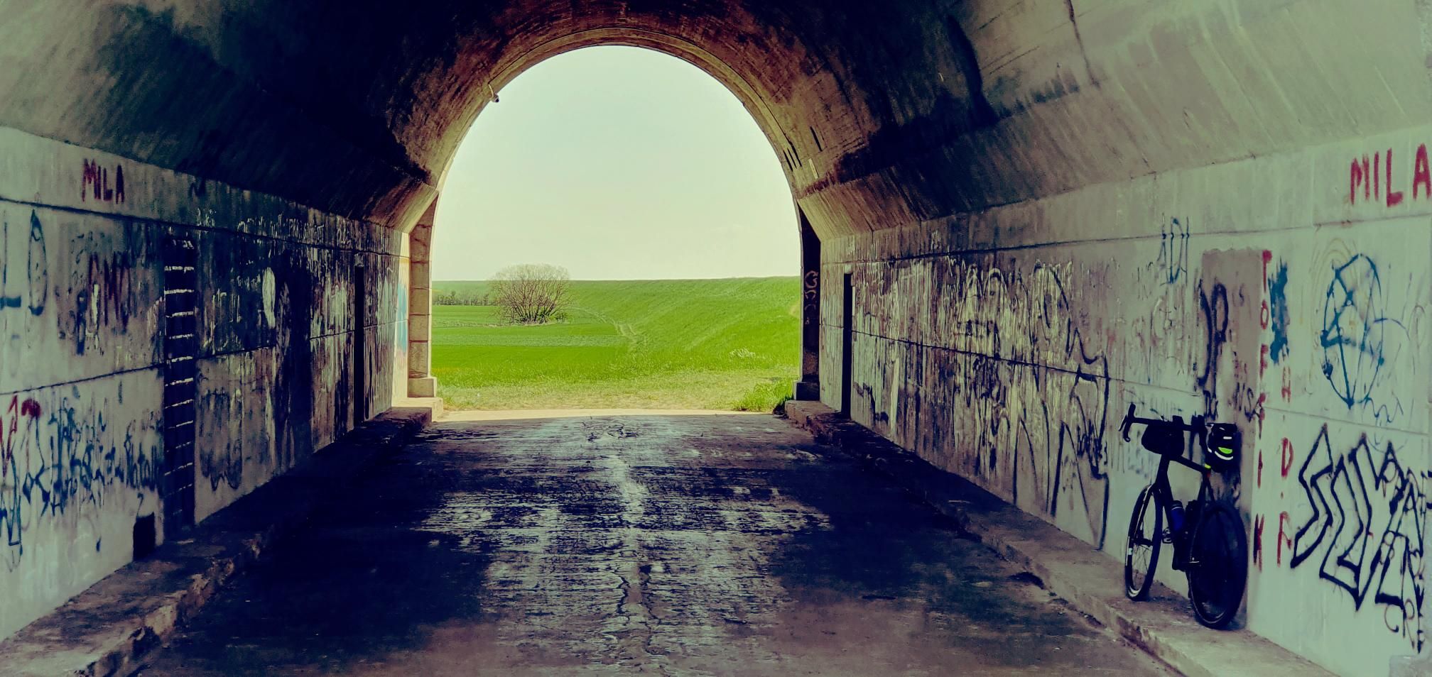
The opening kilometers deliver pure momentum. Launching from 98 meters above sea level, the gravel bike spools up rapidly on a two-kilometer descent, shedding nearly seventy meters of elevation in the blink of an eye. The cool morning draft sharpens the senses as urban concrete yields to lush meadows and dense reed beds tracing the Motława River and drainage canals. Tires hook securely into the fresh tarmac before rolling effortlessly onto hard-packed riverside gravel.
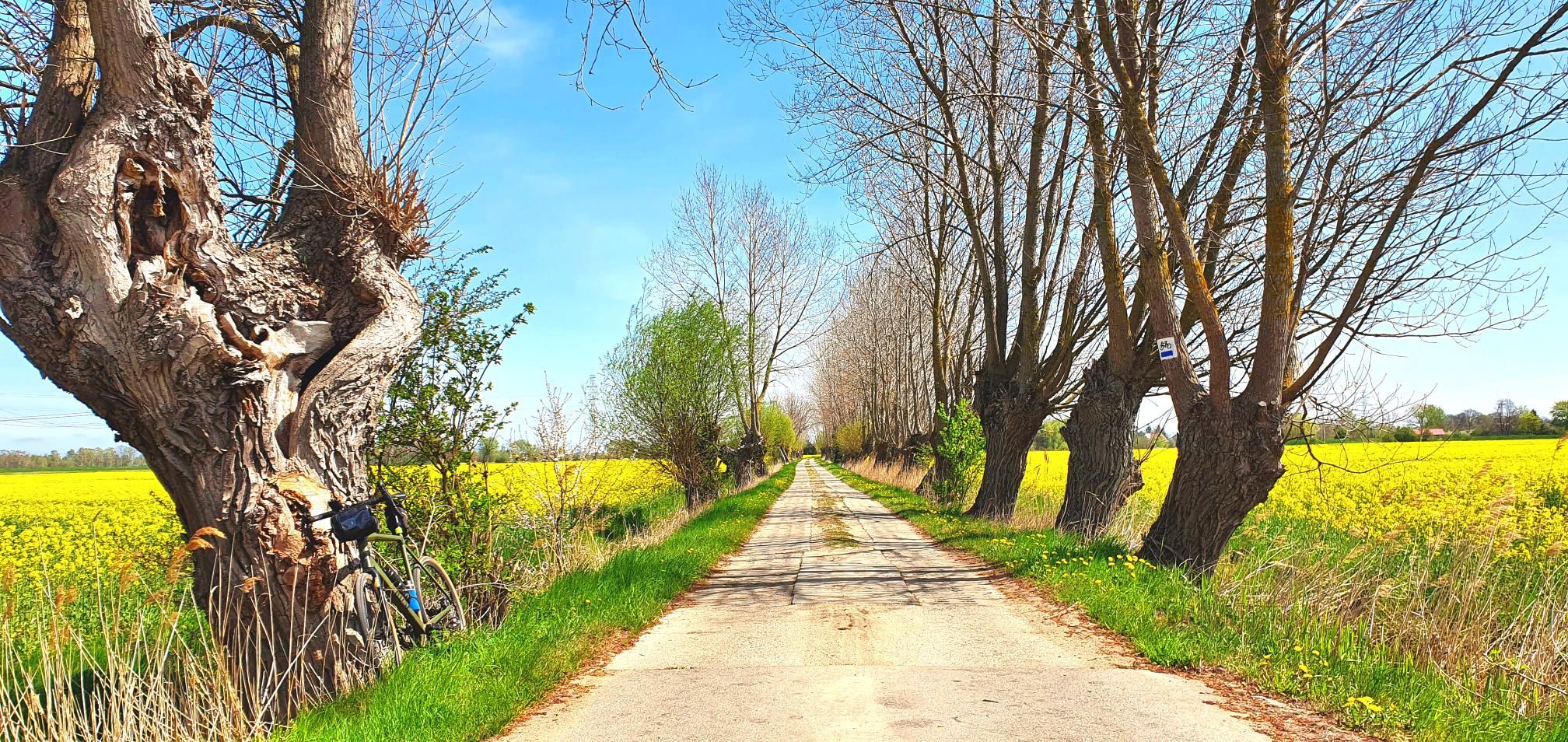
The scenery shifts dramatically around kilometer 20. Entering the rural commune of Suchy Dąb, the barometric altimeter slides into negative numbers. The Żuławy depressions greet you with the rich aroma of damp, fertile soil and endless rows of pollard willows that stand like ancient sentinels along drainage ditches. The air feels denser, and the horizon stretches endlessly into the distance.
In Suchy Dąb, the 14th-century Gothic Church of St. Anne commands attention. Its unadorned red brick contrasts sharply with the vibrant green fens. I slow down over a brief stretch of historical cobblestone to absorb the silence; at dawn, the only sound breaking the stillness is the cry of a gray heron taking flight from a nearby canal.
The Great River Ribbon and Architectural Heritage
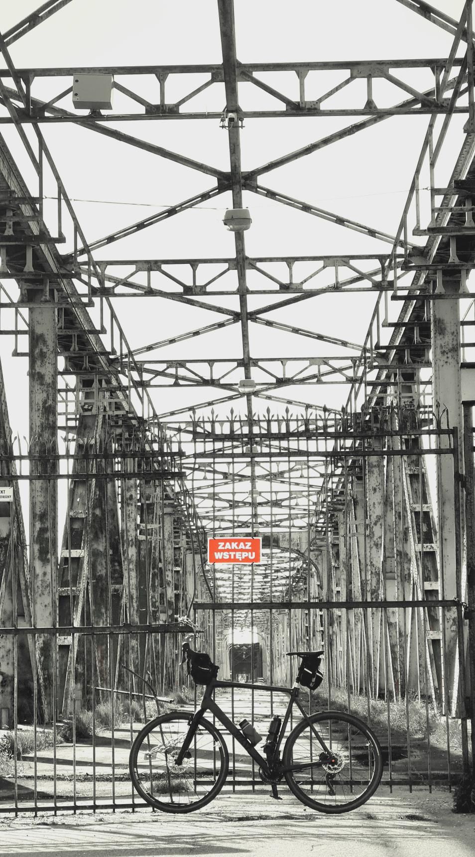
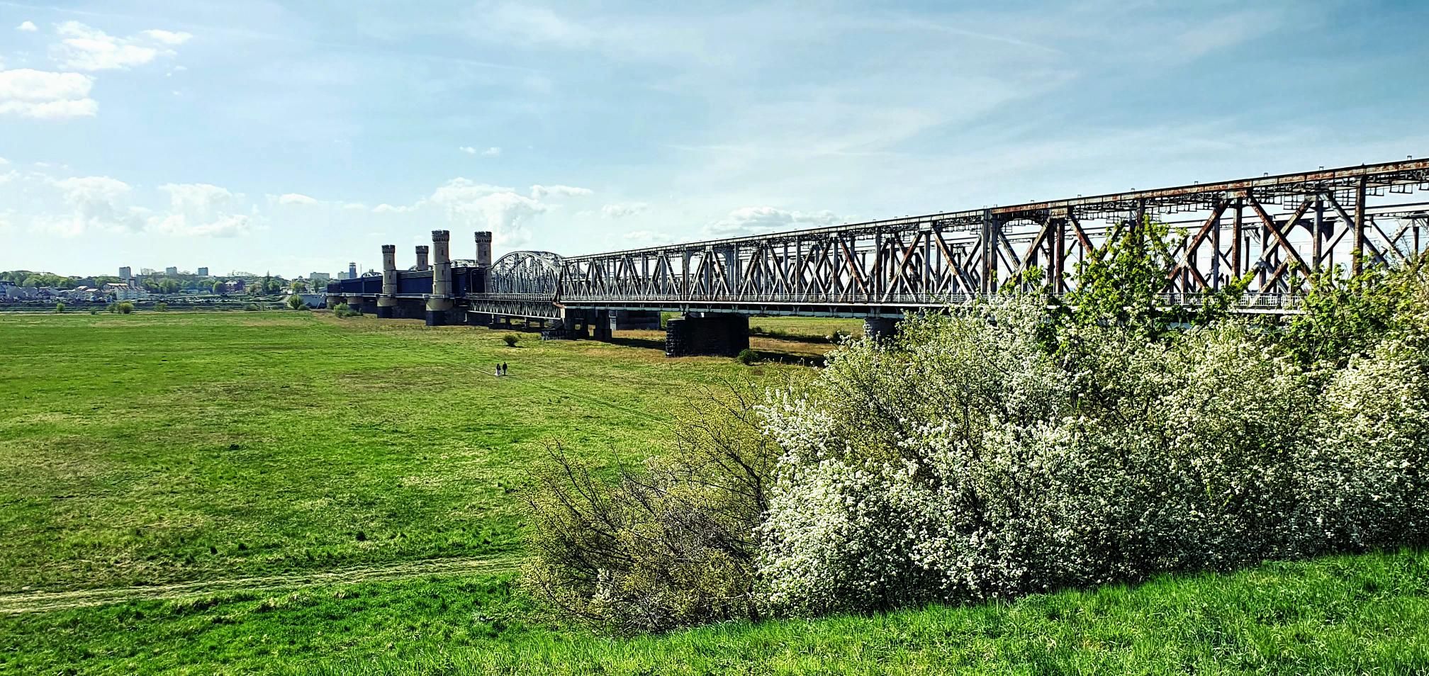
Heading south toward Tczew, the track joins the towering flood protection dykes of the Vistula. The raw power of Poland's queen of rivers is palpable here, hidden just behind grassy earthen embankments. Cresting the levee, the wide, brooding sweep of the Vistula reveals itself, rushing toward the Baltic Sea. Here, the scale of regional water management is on full display: sluices, pumping stations, and flood gates form a living defense safeguarding the fertile polders.
Skirting past the outer fringe of Tczew, the loop turns northeast through Lichnowy, deep in the heart of the Great Malbork Fens (Wielkie Żuławy Malborskie). Across fields of rapeseed and cereal grains, traditional regional architecture emerges: half-timbered arcade houses (domy podcieniowe). These gems of historical Mennonite and Dutch settlement stand out with their intricate carpentry and massive overhangs resting on carved wooden pillars.
Maintaining a non-stop endurance pace requires relentless discipline: I fish an energy bar from my jersey pocket and take a generous swig of electrolyte mix. Pushing through ruler-straight, multi-kilometer stretches becomes a form of rolling meditation. The bike hums along on traffic-free rural tarmac and gravel service paths alongside canals, while the wind—shifting from side to headwind—reminds you of the sheer exposure of the delta.
Cedry Wielkie: Fighting the Crosswinds on the Polders
Around kilometer 75, the route enters the Cedry Wielkie district, where the computer logs depressions dipping several meters below sea level. The wide-open vistas offer zero shelter from the elements, making wind management your top priority. Tucking low into the drops keeps the speed steady above 20 km/h as you slice across open fields.
In Cedry Wielkie, the imposing silhouette of the Church of the Holy Guardian Angels dominates the skyline. Rows of windbreak poplars shelter the landscape against soil erosion, and sleepy farmsteads seem frozen in time. The air smells of cut hay and blooming wildflowers.
On the long, straight gravel stretches, the gravel rig proves its worth. The lack of heavy suspension is repaid in razor-sharp responsiveness and direct power transfer. Every pedal stroke brings you closer to the return ramp of the Tricity moraine ridge.
The Return Climb: A Sting in the Tail
The final fifteen kilometers wind up the loop. Gradually, the pancake-flat landscape begins to ripple. Crossing back into Gdańsk's municipal borders, you face the day's primary athletic test: after more than 115 kilometers in the saddle, your legs must tackle a 1.6-kilometer climb kicking up to a 9% gradient.
There is no room for hesitation. Shift down, get out of the saddle, lean over the cockpit, and grind through the elevation meters. The asphalt sweeps through residential switchbacks up into the Gdańsk moraine, hoisting you out of the delta back up near the 100-meter mark. Reaching the finish line at kilometer 120, heavy breathing gives way to deep satisfaction. Completing the Vistula delta non-stop leaves you with an unforgettable appreciation for its wild scale and distinct heritage.
Sightseeing Highlights
- ↳ St. Anne’s Church in Suchy Dąb: A 14th-century brick Gothic church with a shingle-clad spire. A tiny detour off the main track allows you to view its weathered walls and historical churchyard gravestones.
- ↳ Arcade Houses near Lichnowy: Exceptional examples of Mennonite and Dutch rural architecture. Spot their cantilevered upper stories supported by wooden posts, originally engineered as grain storage safe from seasonal floods.
- ↳ Church of the Holy Guardian Angels in Cedry Wielkie: A monumental piece of Brick Gothic that served as the spiritual heart of the local historical community, acting as a navigational beacon across the flat plains.
- ↳ Vistula Floodbank Crest near Tczew: Offers unobstructed views across the wild, braided channels and riparian buffer zones that shelter thousands of wetland birds.
Practical Guide: Coffee Stops, Water & Advice
- ↳ Coffee Stops & Food: This 120 km route was ridden self-supported and non-stop, fueled exclusively by sports nutrition (gels, bars, hydration mix). For a touring pace, save your espresso stop or hearty meal for downtown Gdańsk (e.g., cafes around Długie Ogrody or the Lower Town area right at the end of the ride).
- ↳ Water Points & Resupply: Village grocery stores in Suchy Dąb, Lichnowy, and Cedry Wielkie are reliable spots to top off bidons. Covered shelters are located near recreational grounds in Suchy Dąb and along the Motława multi-use paths.
- ↳ Tires & Bike Choice: A gravel bike with 38 to 45 mm tubeless tires is best. Wider rubber smooths out the agricultural concrete slabs and rough ballast, keeping rolling resistance low on smooth tarmac links.
- ↳ Navigation: Żuławy is crossed by a labyrinth of agricultural canals and technical lanes where wrong turns are easy. Keep the GPX track running on your head unit to ensure a smooth, uninterrupted ride.
Frequently Asked Questions (FAQ)
Everything you need to know before hitting this route
How long does it take to complete this 120 km gravel route?
▾
What are the most interesting landmarks along the way?
▾
What bike and tire setup works best for this terrain?
▾
Is this route technically demanding?
▾
Free Bike Coloring Pages A4 for Kids & Family
65 vector coloring sheets ready to print (300 DPI, no login required). Gravel, Full MTB, E-Bike & XC!