Kashubian Gravel Rollercoaster — 59 km of Fast Gravel and Glacial Moraines from Przywidz
✨ Key Route Information (Quick Facts)
GPX Route for Garmin, Wahoo, Komoot, and Other Bike Computers
Download the free GPX track of this cycling route. The file can be used on Garmin Edge, Wahoo ELEMNT, Hammerhead Karoo, Bryton Rider bike computers and Komoot, OsmAnd, or Ride with GPS apps.
- 1. Kashubian Gravel Rollercoaster — 59 km of Fast Gravel and Glacial Moraines from Przywidz
- 2. Route at a Glance
- 3. The Ride — Kilometer by Kilometer
- 4. Stage I: Departure from Przywidz and the First Flowy Descent (km 0 – 3.6)
- 5. Stage II: The Crux Climb — A Test of Character (km 3.6 – 5)
- 6. Stage III: Halfway Point toward Kościerzyna and the High Point (km 12 – 45.6)
- 7. Stage IV: The Return Sector and Closing the Loop in Przywidz (km 45.6 – 58.6)
- 8. Nature, Landscape, and Sights Along the Way
- 9. Telemetry and Power Data Analysis
- 10. Coffee & Refuel Spots
- 11. Practical Tips and Gear Setup
- 12. Summary & Free GPX Track
▶ Route Video & YouTube Vlog
Nakręcone Rowerem — YouTube
YouTube HD@nakrecone-rowerem • Cycling, Gravel & Mountains
Gdzie na rower jesienią? Odkryj te niesamowite szutry na Kaszubach!
Route Reels / YouTube Shorts (4):
Kaszuby, las, gravel, dron, dji, flip #specialized #gravel #dji #djiflip #djiglobal #cycling
Kaszubskie szosy na gravelu #gravel #specialized #diverge #kaszuby #szosa
Kaszubskie lasy gravelem #gravel #rower #specialized #diverge #specializedbikes #kaszuby #las
Piękne Kaszuby Gravelem #chill #gravel #gravelbike #kaszuby #rower #szutry#rosebackroad #gopro


Interactive GPS Map
Precise GPX track route with waypoints
Terrain & Surface Breakdown
Surface details, terrain breakdown, and gear tips
🏆 Route Highlights & Scenic Spots:
- ✓ Scenic loop around Lake Przywidzkie and rolling Kashubian moraines
- ✓ Dynamic Crux Descent reaching top gravel speeds close to 50 km/h
- ✓ Punchy 12% Crux Climb testing legs and low gearing
- ✓ Fast, compact forest tracks through Kolbudy Forest District
- ✓ Highest viewpoint at 265 m above sea level near Somonino
🛣️ Terrain & Surface Breakdown
65% hardpack gravel and forest doubletrack, 25% low-traffic rural tarmac, 10% compact dirt roads with occasional roots.
🚴 Recommended Bike & Gear
Gravel bike equipped with 40-45 mm semi-slick tubeless tires (1.8-2.1 bar) and a wide-range cassette (1:1 minimum climbing ratio for 12% ramps).
📍 Location — Poland
Municipality of Przywidz, Pomerania, Poland (PL) — 58.6 km, +575m.
Kashubian Gravel Rollercoaster — 59 km of Fast Gravel and Glacial Moraines from Przywidz
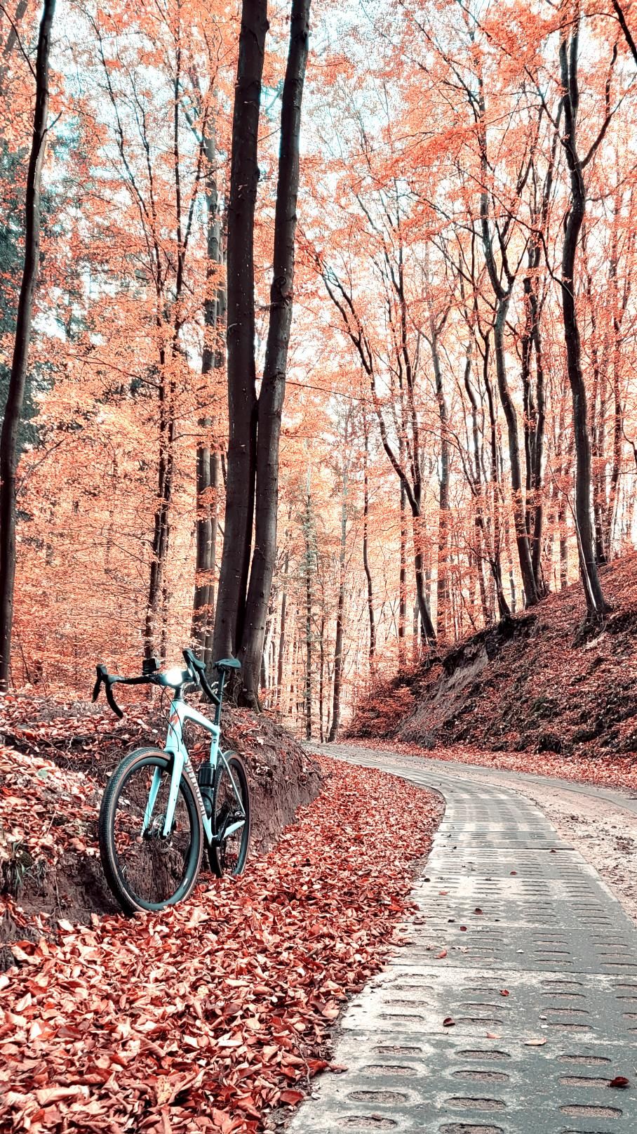
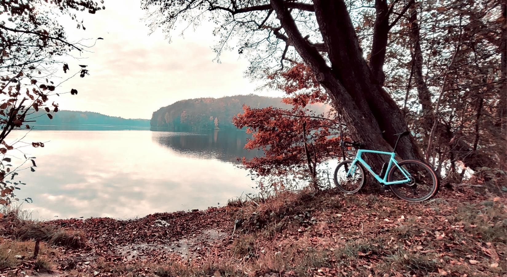
Morning in the heart of Kashubian Switzerland has an undeniable magic. Unloading my Specialized Diverge Expert Carbon at 7:30 AM along the shores of Lake Przywidzkie, thick mist hung lazily over the water while the crisp air smelled of damp pine needles and freshly cut timber. A quick glance at the navigation screen: 58.6 km and nearly 600 meters of elevation gain across rolling moraine terrain. A classic Kashubian saw-tooth profile — zero monotony, a steady battle for cadence, verdant forest tunnels, and gravel highways snaking between post-glacial hills. Two quick pumps of air, a tire pressure check on the Pathfinder Pro rubber (1.9 bar front, 2.1 bar rear), helmet buckled, and we were off!
Route at a Glance
- Distance: 58.6 km
- Elevation Gain/Loss: +575 m / -692 m
- Moving Time: ~2h 50m
- Highest Point: 265 m a.s.l. (km 45.6, Somonino area)
- Crux Climb: 1 km, +52 m vert (avg. 5.2%, max 12%)
- Physical Difficulty: 2.5 / 5 (Moderate, punchy Kashubian rollers)
- Technical Difficulty: 3 / 5 (Fast gravel, forest tracks with minor roots, compact dirt)
- Recommended Bike: Gravel bike with 40-45 mm tires, 1x12 (10-50 / 10-52) or 2x11 sub-compact gearing
---
The Ride — Kilometer by Kilometer
Stage I: Departure from Przywidz and the First Flowy Descent (km 0 – 3.6)
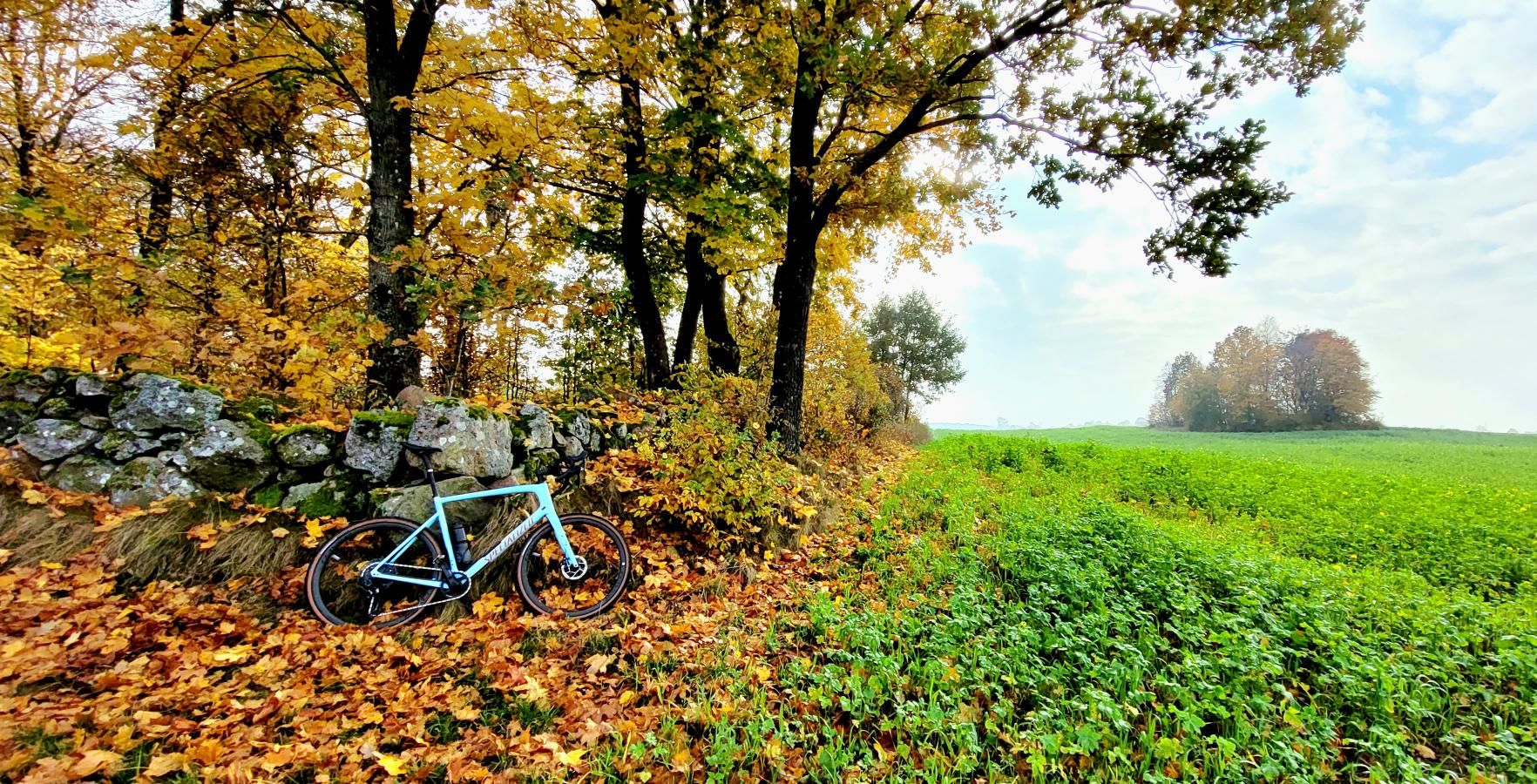
Starting from Przywidz (239 m a.s.l.) provides the perfect warmup to ease into Zone 2 endurance pacing. Just 1.5 km in, the asphalt gave way to packed forest doubletrack. Right here lies the Crux Descent between km 1.7 and 2.9 — a sweeping 1 km drop with a net loss of -63 meters. Firm gravel with excellent traction allowed me to feather the brake levers lightly. The Future Shock system smoothed out minor washboard sections as the bike computer quickly surged to 48.8 km/h. The brisk morning breeze and sunlight filtering through beech canopies delivered an instant dose of endorphins for the loop ahead.
Stage II: The Crux Climb — A Test of Character (km 3.6 – 5)
No sooner had the adrenaline from the descent settled than the route kicked upward: the Crux Climb. On paper, a 1 km stretch gaining 52 vertical meters looks modest (averaging 5.2%), but Kashubian topography is notoriously deceptive. After a mild lead-in, the gradient pitches up aggressively around a sweeping forest bend, hitting a sharp 12%.
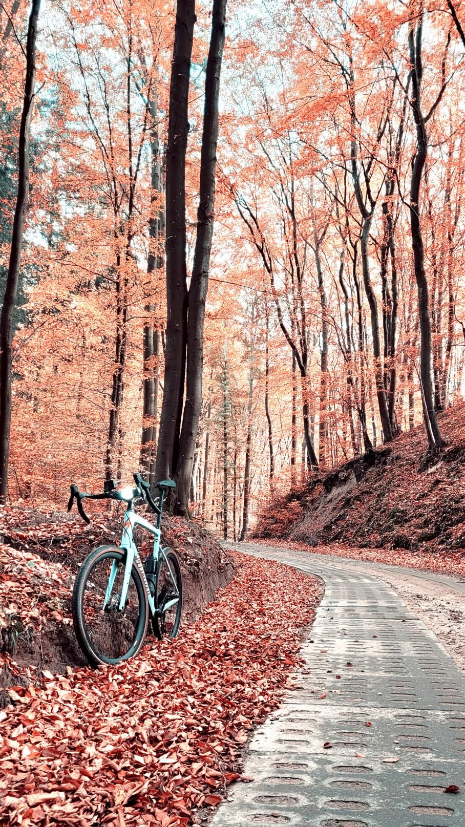
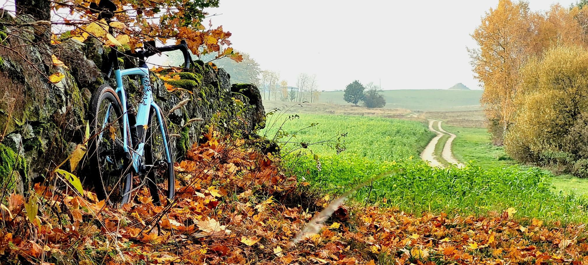
Downshifting onto the 42T cog, leaning weight forward to keep the front wheel planted and maintain traction over loose gravel, heart rate climbed toward 172 bpm with the power meter holding a stout 360 W. At the crest around kilometer 5, the reward was an expansive view across undulating glacial fields and a welcome return to steady cruising pace.
Stage III: Halfway Point toward Kościerzyna and the High Point (km 12 – 45.6)
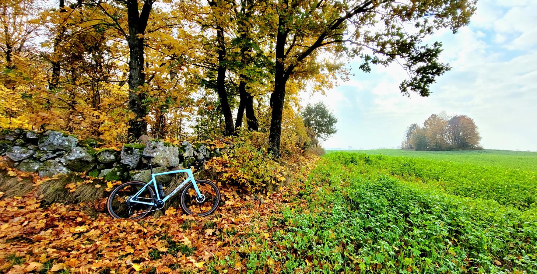
The middle section delivered textbook gravel flow. The route threaded along secluded river valleys and tunnel valleys typical of Kashubian Switzerland. At kilometer 29.2 near Kościerzyna (177 m a.s.l.), we crossed the halfway mark. Smooth gravel roads led northward into Somonino commune. Constant rollers demanded short, punchy efforts out of the saddle alternating with flat stretches in the drops at 28-30 km/h.
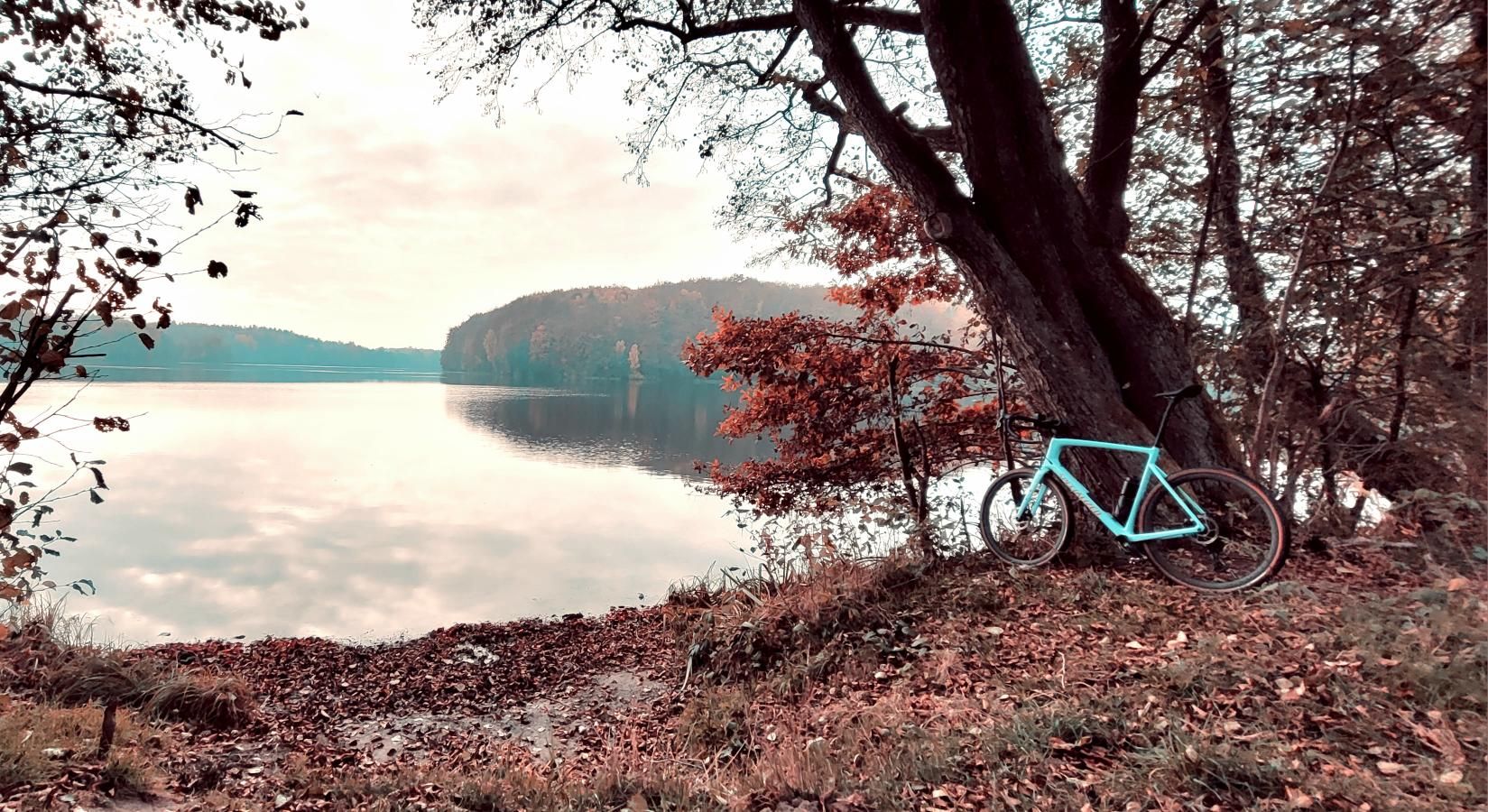
The high point arrived at kilometer 45.6 at 265 m above sea level near Somonino. From here, open panoramas over forested terminal moraines and distant glistening lakes called for an unhurried stop to enjoy an energy bar and soak in Pomerania's pristine nature.
Stage IV: The Return Sector and Closing the Loop in Przywidz (km 45.6 – 58.6)
The final 13 kilometers brought a smooth run back to home base. The track wound through quiet, pristine country backroads and broad forestry tracks managed by Kolbudy Forest District. Despite lingering fatigue in the quads, the Diverge tracked smoothly. At kilometer 58.5, we rolled to a halt in front of the historic church in Przywidz, logging a total moving time of 2h 50m.
---
Nature, Landscape, and Sights Along the Way
The Przywidz and Somonino area serves as the gateway to Kashubian Switzerland — one of the most topographically varied post-glacial landscapes in northern Poland. Riding this route, you traverse deep glacial tunnel valleys sheltering crystal-clear lakes (including Lake Przywidzkie and Lake Małe Przywidzkie) alongside ancient beech woodlands. Spring and autumn bring rich foliage colors, while the unique microclimate keeps the forest air remarkably fresh. Keep an eye out for traditional Kashubian timber architecture and quaint roadside shrines embedded in the hills.
---
Telemetry and Power Data Analysis
- Total Distance: 58.6 km
- Moving Time: 2:50:14
- Average Speed: 20.7 km/h
- Max Speed (Descent): 48.8 km/h (km 2.3)
- Normalized Power (NP): 215 W
- Peak Power (10s): 460 W (on the 12% kicker)
- Average Cadence: 84 rpm
- Estimated Energy Expenditure: ~1,650 kcal
- Terrain Breakdown: Flat sections (29.9 km), climbs 2-8.5% (11.3 km), steep walls >8.5% (1.0 km), descents (16.3 km).
These metrics illustrate the quintessential Kashubian riding profile: no long alpine passes, but constant punchy rollers that accumulate into real fatigue after 50 kilometers.
---
Coffee & Refuel Spots
1. Lake Przywidzkie Waterfront Cafes (Start/Finish): Great spot for a post-ride double espresso and traditional Kashubian sweet yeast cake (kùch).
2. Somonino Village Stores (km 43-45): Strategic location to top up water bottles and grab a banana before the final push back to Przywidz.
3. Artisan Bakeries near Kościerzyna (km 29): A brief detour off-track toward the outskirts provides quick bakery refueling options.
---
Practical Tips and Gear Setup
1. Tire Choice & Pressure: Combining packed gravel, pine-needle forest floor, and quiet asphalt, the ideal setup is 40-45 mm semi-slick tires (e.g., Specialized Pathfinder Pro, Tufo Thundero, Panaracer GravelKing SS). Run 1.8 – 2.1 bar in a tubeless setup (for a ~75 kg rider) for optimal grip on climbs and rim protection.
2. Gearing: Due to steep kickers reaching 12%, a 1:1 or sub-1:1 climbing ratio is highly recommended (40T chainring with a 10-44T/10-50T cassette on 1x setups, or 46/30T with 11-34T on 2x).
3. Hydration & Fuel: Two 750 ml bottles (one electrolyte mix, one pure water) and 2-3 energy gels cover the sub-3-hour loop comfortably.
4. Navigation: Kashubian forestry trails intersect frequently. Loading the GPX track onto a dedicated cycling GPS computer (Garmin, Wahoo, Hammerhead) is strongly advised.
---
Summary & Free GPX Track
The loop around Przywidz and Somonino is pure Pomeranian gravel goodness: dynamic terrain, virtually zero traffic, and gorgeous views over the rolling Kashubian moraines. An ideal day trip from the Gdańsk-Sopot-Gdynia Tricity area or an essential stage for a weekend gravel getaway in northern Poland.
Download the free GPX track below, pump up your tires, and enjoy the Kashubian gravel flow!
Frequently Asked Questions (FAQ)
Everything you need to know before hitting this route
What type of bike is best suited for this route?
▾
Is this gravel route suitable for beginners?
▾
Are there good resupply points along the course?
▾
Free Bike Coloring Pages A4 for Kids & Family
65 vector coloring sheets ready to print (300 DPI, no login required). Gravel, Full MTB, E-Bike & XC!