Wild Gravel Adventure: Karlskrona — 106.8 km of Pure Gravel Flow
✨ Key Route Information (Quick Facts)
GPX Route for Garmin, Wahoo, Komoot, and Other Bike Computers
Download the free GPX track of this cycling route. The file can be used on Garmin Edge, Wahoo ELEMNT, Hammerhead Karoo, Bryton Rider bike computers and Komoot, OsmAnd, or Ride with GPS apps.
- 1. Route at a Glance
- 2. Route Story — Kilometer by Kilometer
- 3. Stage I: Departure & Warm-up (km 0 – 15)
- 4. Stage II: The Crux Climb — Testing Wattage & Cadence
- 5. Stage III: The Peak Summit & Panoramic Rest
- 6. Stage IV: Fast Sweeping Descent & Return to Base
- 7. Nature, Landscapes & Scenic Highlights
- 8. Telemetry & Sensor Analytics
- 9. Coffee & Refuel Spots
- 10. Practical Tips & Equipment Setup
Interactive GPS Map
Precise GPX track route with waypoints
Terrain & Surface Breakdown
Surface details, terrain breakdown, and gear tips
🏆 Route Highlights & Scenic Spots:
- ✓ Scenic loop through the landscapes of Karlskrona
- ✓ Challenging climbs totaling +649 meters
- ✓ Fast sweeping descents with max speeds up to 45.2 km/h
- ✓ Top-notch terrain mix optimized for Gravel
🛣️ Terrain & Surface Breakdown
65% Fine gravel tracks & quiet forest lanes, 35% Smooth backroad asphalt.
🚴 Recommended Bike & Gear
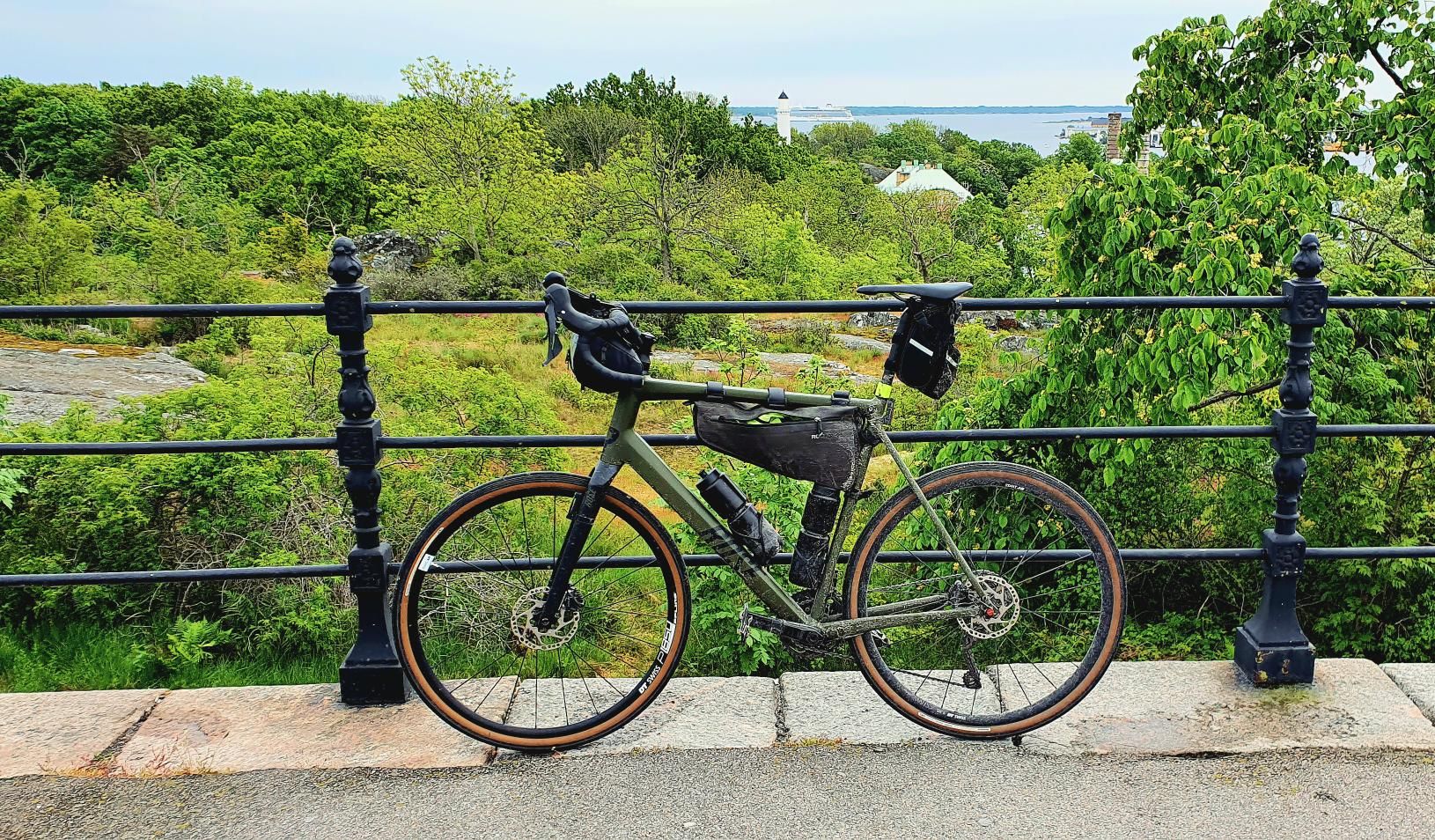
We recommend 38-45mm tubeless tires (2.2-2.6 bar), endurance gearing for climbs, two water bottles, and GPS cycling computer with downloaded GPX file.
📍 Location — Sweden
Karlskrona, Blekinge, Sweden (SE) — 106.8 km, +649m.
Szwedzki Potop 22 — Gravel Adventure in Karlskrona
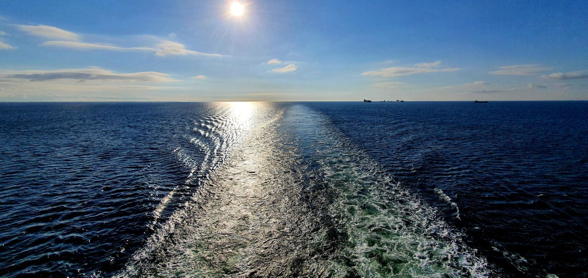
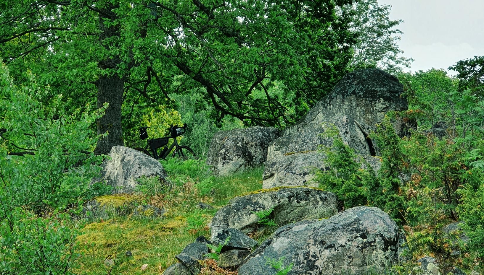
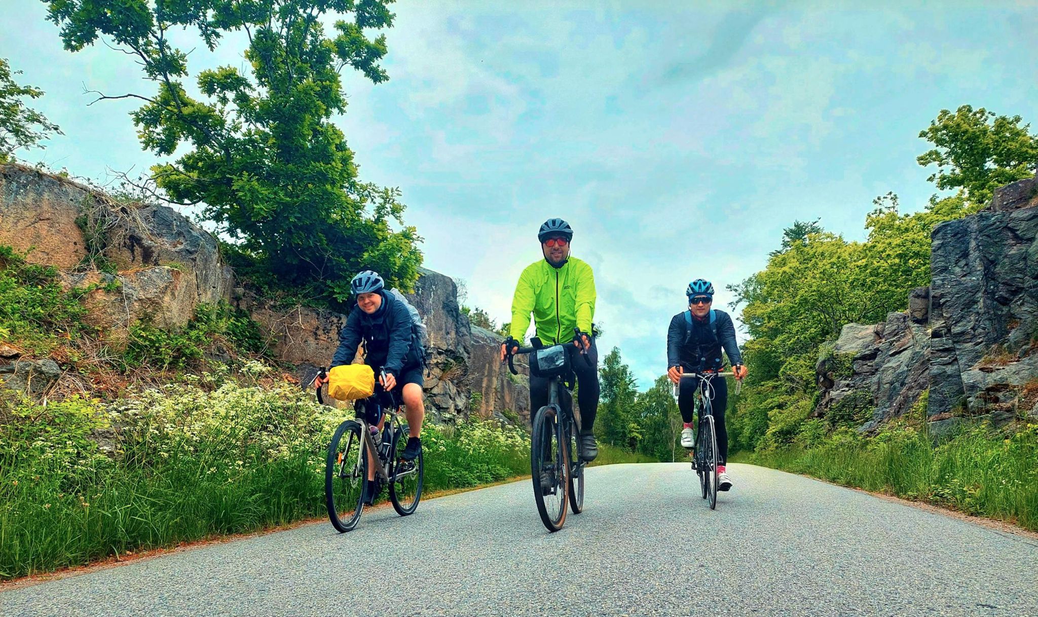
Cycling through the picturesque region of Karlskrona, Blekinge län, Szwecja is an unforgettable experience for every rider. In this episode of "Nakręcone Rowerem", we take you along an exhilarating 106.8 km loop featuring +649 m of cumulative elevation gain and breathtaking vistas.
Route at a Glance
- Distance: 106.8 km
- Elevation Gain: +649 m
- Moving Time: ~5h 54m
- Average Speed: 18.1 km/h (Top descent speed: 45.2 km/h)
- Physical Rating: 4.5 / 5 (Challenging & Demanding)
- Technical Rating: 3 / 5 (Varied gravel and forest doubletracks)
- Recommended Setup: Rose
Route Story — Kilometer by Kilometer
Stage I: Departure & Warm-up (km 0 – 15)
We roll out into the crisp morning air from the heart of Karlskrona. The initial rolling kilometers provide the ideal opportunity to spin the legs, dial in tire pressure (tubeless setup), and settle into an efficient aerobic rhythm.
Stage II: The Crux Climb — Testing Wattage & Cadence
As the route heads into the heart of the terrain, the gradient kicks up significantly. Steep ramps test power and stamina, rewarding every pedal stroke with sweeping panoramas of the surrounding valleys in Karlskrona, Blekinge län, Szwecja.
Stage III: The Peak Summit & Panoramic Rest
Reaching the apex of the route offers a well-deserved moment to take in the breathtaking landscape, snap photos, and enjoy an energy bar while admiring nature.
Stage IV: Fast Sweeping Descent & Return to Base
The closing section delivers pure cycling flow: sweeping descents reaching up to 45.2 km/h, followed by quiet rural lanes leading smoothly back to our starting point in Karlskrona.
Nature, Landscapes & Scenic Highlights
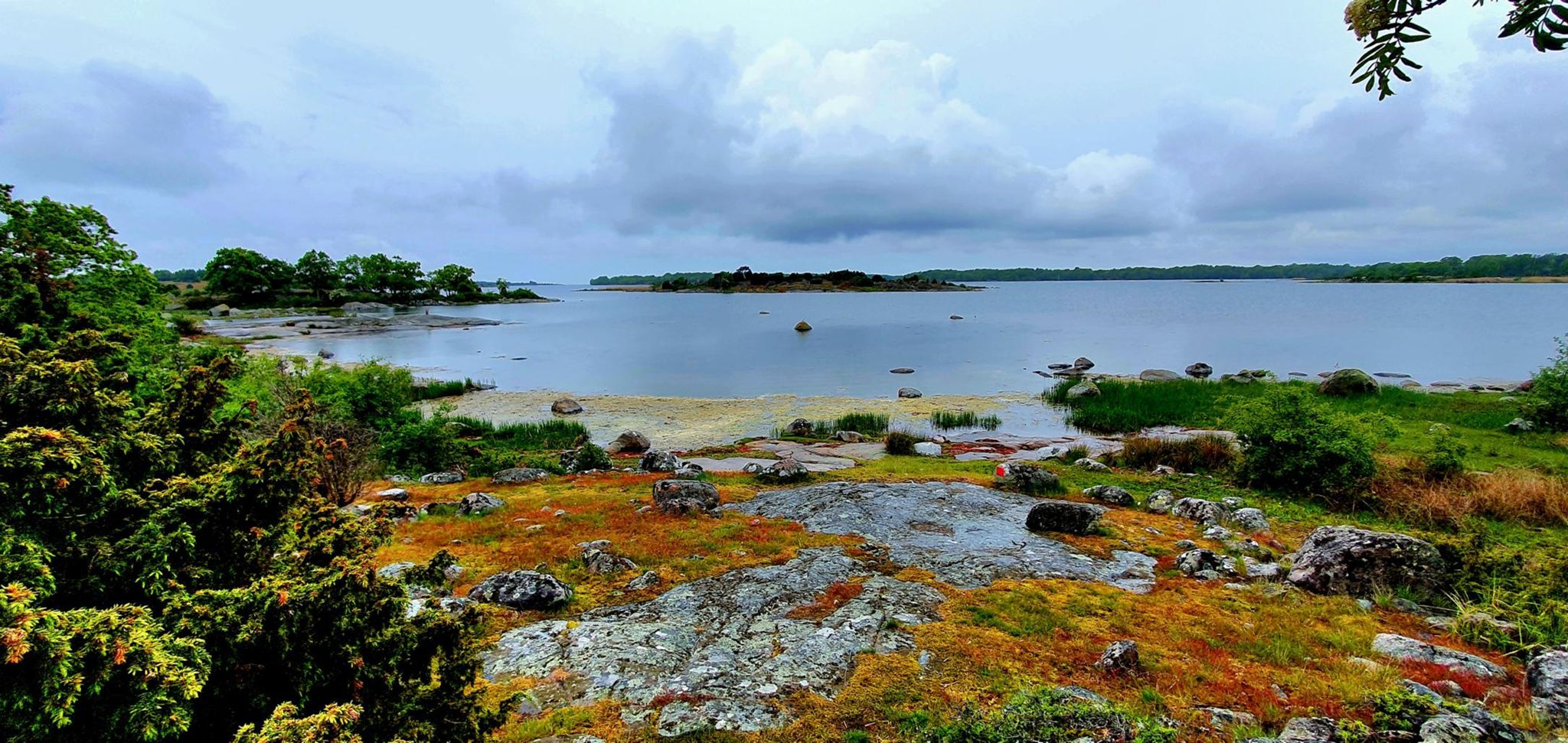
The Karlskrona, Blekinge län, Szwecja area is rich in stunning nature, peaceful forest sections, and charming local culture far from congested tourist hubs.
Telemetry & Sensor Analytics
- ↳ Top Speed: 45.2 km/h
Coffee & Refuel Spots
After a rewarding ride, an espresso and local pastry are mandatory. Excellent friendly cafés can be found near the start/finish zone in Karlskrona.
Practical Tips & Equipment Setup
1. Tires & Pressure: Tubeless setup with suitable width for the surface.
2. Hydration & Nutrition: At least 2 water bottles (water + electrolytes) and energy snacks.
3. GPX Navigation: Download the free GPX track below to your Garmin/Wahoo/Komoot device.
Frequently Asked Questions (FAQ)
Everything you need to know before hitting this route
What is the total distance and climbing on Szwedzki Potop 22?
▾
What bike is best suited for this route in Karlskrona?
▾
How do I download the free GPX file?
▾
Free Bike Coloring Pages A4 for Kids & Family
65 vector coloring sheets ready to print (300 DPI, no login required). Gravel, Full MTB, E-Bike & XC!